

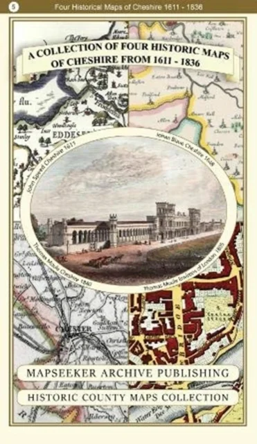
A Cheshire 1611 - 1840 - Fold Up Map that features a collection of Four Historic Maps, John Speed's County Map 1611, Johan Blaeu's County Map of 1648, Thomas Moules County Map of 1840 and Cole and Roper's Plan of the City of Chester 1805.
Historical Images Ltd · 2018
Historical Images Ltd · 2018
- Ilmunud:
- Historical Images Ltd, 2018
- Köide:
- Pehme kaas
- Sari:
- Historic English Counties Map Collection
- Keel:
- inglise
Saadavus
26,50 €
Uus kasutamata raamat
Täna tellides on tarneaeg umbes 9 päeva (27.11.2026)Tellimuse täitmise aeg on umbkaudne ja sõltub nädalapäevast, millal tellimus tehakse. Reeglina ei kulu üle kahe nädala.
Detailid
- ISBN
- 9781844918485
- Aasta
- 2018
- Kirjastus
- Historical Images Ltd
- Keel
- inglise
- Köide
- Pehme kaas
- Teema
- Humanitaaria: ajalugu, filosoofia, religioon › Ajalugu — History
- Kaal
- 104 g