

Best Practices of GeoInformatic Technologies for the Mapping of Archaeolandscapes
Apostolos Sarris (toim.) · Archaeopress · 2015
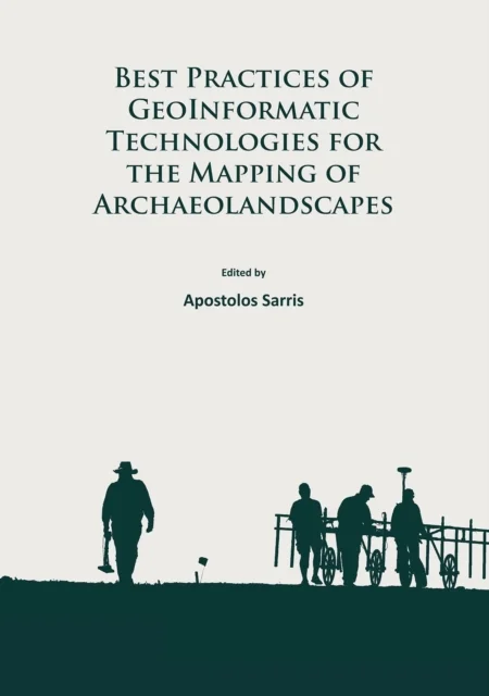
Apostolos Sarris (toim.) · Archaeopress · 2015
New geoinformatic technologies have recently had a transformative effect on landscape archaeology, particularly by facilitating the high resolution acquisition and analysis of data over large areas. These techniques have fundamentally changed the nature and scope of questions that can be addressed regarding the archaeological record. Despite this stimulating potential, many practising archaeologists were not trained in these methods and so are not fully aware of their capabilities or the most appropriate ways to apply them. This volume collates state of the art research in the fields of geophysics, geochemistry, aerial imaging, dating, digital archaeology, GIS and marine archaeology to present a comprehensive overview of the specialised techniques which can contribute to landscape scale archaeological investigations. It is hoped that it will serve as a “best practice” guide for their use and encourage their widespread adoption by the archaeological community.
Uus kasutamata raamat
Detailid
- Autor
- Apostolos Sarris (toim.)
- ISBN
- 9781784911621
- Aasta
- 2015
- Kirjastus
- Archaeopress
- Keel
- inglise
- Köide
- Pehme kaas
- Lehekülgi
- 278
- Teema
- Humanitaaria: ajalugu, filosoofia, religioon › Arheoloogia — Archaeology
- Kaal
- 1.06 kg