

British Isles Communication
Ordnance Survey · 2019
Ordnance Survey · 2019
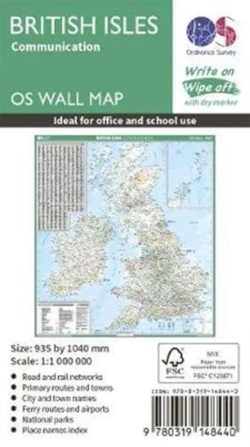
This map shows the British isles, with all the major road, rail and sea connections. It is supplied rolled in a tube and is ideal for schools, students or just for decoration. It includes an index of place names. This map is gloss coated, so can be written on with suitable dry-wipe pens. It's scale is 1: 1 000 000
Saadavus
15,00 €
Uus kasutamata raamat
Täna tellides on tarneaeg umbes 10 päeva (27.11.2026)Tellimuse täitmise aeg on umbkaudne ja sõltub nädalapäevast, millal tellimus tehakse. Reeglina ei kulu üle kahe nädala.
Detailid
- ISBN
- 9780319148440
- Aasta
- 2019
- Kirjastus
- Ordnance Survey
- Keel
- inglise
- Sari
- OS Wall Map
- Teema
- Maateadused, geograafia, keskkond › Geograafia — Geography
- Kaal
- 301 g