

Comprehensive Road Atlas Ireland
Easy to Read, Updated Mapping
Collins Maps · HarperCollins Publishers · 2023
Easy to Read, Updated Mapping
Collins Maps · HarperCollins Publishers · 2023
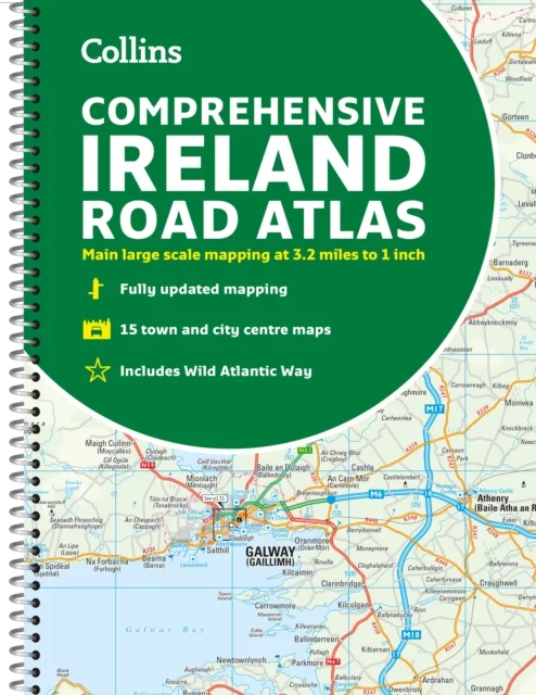
Clear, detailed road atlas of Ireland in a handy A4 spiral-bound format.This comprehensive, general purpose road atlas is ideal for both business and pleasure.Highlights include:Clear mapping at a scale of 3.2 miles to 1 inch, which is useful for navigationAn additional 9 miles to 1 inch route planning mapPlaces of interest section with information and photographsA range of fully indexed town and city centre maps, including: Bangor, Belfast, Cork, Dublin, Limerick, Lisburn, Londonderry (Derry) and NewtownabbeyThis updated edition boasts road mapping packed with detail. There is a colour classified road network that also shows toll roads. Blue Flag and Green Coast beaches are shown along with tourist information centres and a wide range of tourist attractions. There is also comprehensive information for visitors to Belfast, Cork, Dublin and Limerick.The perfect companion for anyone visiting Ireland.
Uus kasutamata raamat
Detailid
- Alapealkiri
- Easy to Read, Updated Mapping
- Autor
- Collins Maps
- ISBN
- 9780008412814
- Aasta
- 2023
- Kirjastus
- HarperCollins Publishers
- Keel
- inglise
- Köide
- Spiraalköide
- Lehekülgi
- 160
- Teema
- Elustiil, sport ja vaba aeg › Reisimine — Travel & holiday
- Kaal
- 496 g