

Crete Western
Terrain · 2018
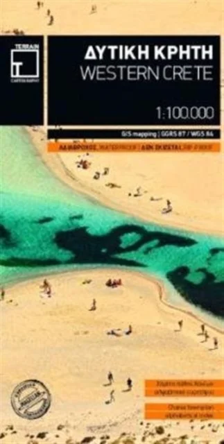
Terrain · 2018
Terrain’s map of Western Crete provides travelers with everything they need:
Scale of 100.000, which attributes all the information with clarity and in detail.
Map data processed within a GIS environment, resulting in great accuracy.
Double coordinate system, WGS 84 and ?GS? 87, completely compatible with GPS.
It is printed on Polyart material, making it totally waterproof and rip-proof. You can fold it and unfold it a hundred times, fold it in irregular ways, dunk it in the sea or leave it out in the rain. This map is indestructible!
Clear symbols, easily readable fonts, rich colors and excellent arrangement of every element make the map extremely friendly to the user.
Unique wealth of information. Every village, every road (including their distance in km), every sight, every beach, every gas station, the camping areas and much more, are all included in the map.
The most important trails of the area are marked in the map, with clear lines, in two categories (main and secondary trails), including their exact distance in km, as well as the mountain refuges.
For the first time in a map of Crete, the bolted canyoning routes and the climbing crags of the area are included. Moreover, suggested scenic routes are marked with a green shadow on the map. Also, a full index of the place names and the archaeological sites is included, as well as a detailed townplan of Chania in the scale of 1:4.500.
Uus kasutamata raamat
Detailid
- ISBN
- 9789609456647
- Aasta
- 2018
- Kirjastus
- Terrain
- Keel
- inglise
- Lehekülgi
- 1
- Sari
- Regional maps
- Teema
- Elustiil, sport ja vaba aeg › Reisimine — Travel & holiday
- Kaal
- 70 g