

Fehmarn - Ostholstein, hiking, cycling and leisure map
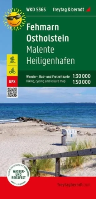
WKD5365 Malente Heiligenhafen
Freytag-Berndt · Freytag-Berndt · 2022
The front of the Fehmarn - Ostholstein hiking, cycling and leisure map shows most of Ostholstein. In addition to the Baltic Coast Cycle Path, numerous regional cycle paths invite you to explore the hilly landscape. The island of Fehmarn is shown on the reverse at a scale of 1:30,000. While the long-distance cycle path follows the course of the coast, regional cycle paths lead through the small towns and over the fields of the island. Information texts on the edge of the map provide information about excursion tips. Information on the hiking and cycling map Fehmarn - Ostholstein Map part Fehmarn: 1:30,000 Map section East Holstein: 1:50,000 hiking trails Cycle and long-distance cycle paths bridle paths GPX-Tracks zum Download Waterproof and tear resistant 99 x 61 cm, printed on both sides Waterproof and tear-resistant The hiking map is printed on a special waterproof and durable paper so that it can also be used for orientation on rainy days. Manufactured in a way that conserves resources The map consists of 80% ground limestone. The production is much more resource-saving than with conventional paper because the consumption of water, wood and energy is significantly lower.iteable; sacredhafen
Uus kasutamata raamat
Detailid
- Alapealkiri
- WKD5365 Malente Heiligenhafen
- Autor
- Freytag-Berndt
- ISBN
- 9783707920352
- Aasta
- 2022
- Kirjastus
- Freytag-Berndt
- Keel
- inglise
- Lehekülgi
- 2
- Teema
- Elustiil, sport ja vaba aeg › Reisimine — Travel & holiday
- Kaal
- 84 g