

Gloucestershire 1611 - 1836 - Fold Up Map that features a collection of Four Historic Maps, John Speed's County Map 1611, Johan Blaeu's County Map of 1648, Thomas Moules County Map of 1836 and a Plan of Gloucester 1805 by Cole and Roper. The maps also feature three historic views of Gloucester from the 1840's.
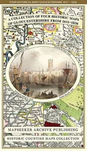
Mapseeker Publishing Ltd. · Historical Images Ltd · 2014
- Autor:
- Mapseeker Publishing Ltd.
- Ilmunud:
- Historical Images Ltd, 2014
- Köide:
- 1 lk
- Sari:
- Historic Counties Maps Collection
- Keel:
- inglise
Saadavus
26,50 €
Uus kasutamata raamat
Täna tellides on tarneaeg umbes 9 päeva (27.11.2026)Tellimuse täitmise aeg on umbkaudne ja sõltub nädalapäevast, millal tellimus tehakse. Reeglina ei kulu üle kahe nädala.
Detailid
- ISBN
- 9781844918287
- Aasta
- 2014
- Kirjastus
- Historical Images Ltd
- Keel
- inglise
- Lehekülgi
- 1
- Teema
- Humanitaaria: ajalugu, filosoofia, religioon › Ajalugu — History
- Kaal
- 102 g