

Oxford Very First Atlas
Dr Patrick Wiegand (toim.) · Oxford University Press · 2011
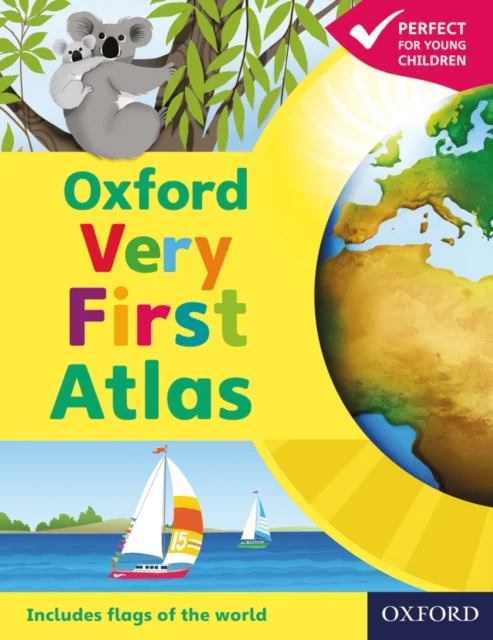
Dr Patrick Wiegand (toim.) · Oxford University Press · 2011
The Oxford Very First Atlas is the perfect introduction to maps for young learners. Completely up-to-date, it features accurate, easy-to-read, and colourful mapping in an accessible layout based on research into how children use maps.
Have you ever wondered:
• What the Earth looks like from space?
• How many continents there are?
• Where Mount Everest is?
Find out in your very first atlas!
Key Features:
• Introduces young learners to maps and develops early atlas skills.
• Engaging Content: Encourages children to talk about local and distant places and find key locations.
• Comprehensive Coverage: Includes an introduction to the globe, stunning Earth-from-space images, and clear maps of the world and continents.
• Interactive Learning: Accompanied by an Activity Book for independent work and an e-Atlas CD-ROM for whole-class display.
This atlas is the ideal resource for developing map skills and inspiring curiosity about the world.
Uus kasutamata raamat
Detailid
- Autor
- Dr Patrick Wiegand (toim.)
- ISBN
- 9780198487869
- Aasta
- 2011
- Kirjastus
- Oxford University Press
- Keel
- inglise
- Köide
- Pehme kaas
- Lehekülgi
- 32
- Teema
- Lastele ja noortele › Teatmeteosed lastele — Children’s & teenage reference material
- Kaal
- 114 g