

Peak District (Dark Peak)
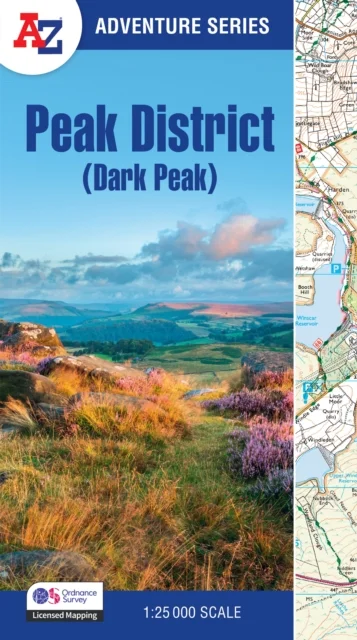
With Ordnance Survey Mapping
A-Z Maps · HarperCollins Publishers · 2025
The A-Z Adventure Series uses Ordnance Survey mapping and is the perfect companion for walkers, off-road cyclists, and anyone wishing to explore the great outdoors.This A-Z Adventure Atlas of the Peak District (Dark Peak) features 50 pages of continuous Ordnance Survey mapping covering:Peak District National Park (northern part)Kinder ScoutHope ValleyHathersageCastletonSnake PassDerwent ValleyThis National Trail Map features detailed mapping at a scale of 1:25 000, providing complete coverage of the Peak District (Dark Peak). Additional features include:Information CentresHotels/B&BsYouth HostelsCampsites (seasonal opening)Public HousesShopsRestaurantsCafes (seasonal opening)Petrol StationsOther books available in the A-Z Adventure series include: Pembrokeshire Coast Path, Peddars Way and Norfolk Coast Path, South Downs Way, Cotswold Way, South West Coast Path and The North Coast 500.
Uus kasutamata raamat
Detailid
- Alapealkiri
- With Ordnance Survey Mapping
- Autor
- A-Z Maps
- ISBN
- 9780008744205
- Aasta
- 2025
- Kirjastus
- HarperCollins Publishers
- Keel
- inglise
- Köide
- Pehme kaas
- Lehekülgi
- 60
- Teema
- Teatmeteosed ja üldteadmised › Entsüklopeediad ja teatmeteosed — Encyclopaedias & reference works
- Kaal
- 118 g