

Philip's The Cotswolds Leisure and Tourist Map
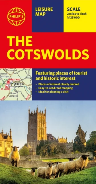
Featuring places of tourist and historic interest
Philip's Maps · Octopus Publishing Group · 2020
A new edition of this double-sided map of the Cotswolds clearly featuring places of tourist and historic interest in an easy-to-read style of mapping, alongside six handy town centre plans.
This leisure and tourist map of the Cotswolds gives detailed coverage of the area's road network at a scale of approximately 2 miles to 1 inch (1:125,000). The coverage stretches from Abingdon in the east to Gloucester in the west, and from Swindon in the south to Great Malvern in the north.
The map shows places of tourist and historic interest, including castles, camping and caravanning sites, country parks, galleries, gardens, golf courses, museums, nature trails, historic sites, sports venues, theatres and wildlife parks. An index to principal places of interest is also featured.
With some of the most enchanting towns and cities in England in the area - all with extraordinary history and notable natural beauty - use the Philip's Leisure Map to explore and delight in the Cotswold magic. Included in the mapping are indexed town-centre street maps for Bourton-on-the-Water, Cheltenham, Cirencester, Gloucester, Tewkesbury and Winchcombe for easy navigation and enjoyment.
In a convenient folded format, this double-sided sheet map is ideally suited for both leisure and business use, whether by locals or visitors.
Uus kasutamata raamat
Detailid
- Alapealkiri
- Featuring places of tourist and historic interest
- Autor
- Philip's Maps
- ISBN
- 9781849075381
- Aasta
- 2020
- Kirjastus
- Octopus Publishing Group
- Keel
- inglise
- Lehekülgi
- 2
- Teema
- Elustiil, sport ja vaba aeg › Reisimine — Travel & holiday
- Kaal
- 74 g