

Rand McNally Washington DC/Baltimore MD Regional Map
Rand McNally · Rand McNally & Co ,U.S. · 2025
Rand McNally · Rand McNally & Co ,U.S. · 2025
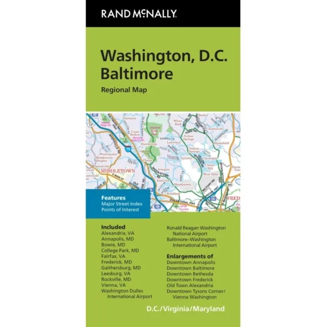
Rand McNally's folded map for Washington, D.C. is a must-have for anyone traveling in and around the Washington, D.C. area, offering unbeatable accuracy and reliability at a great price. Our trusted cartography shows all Interstate, U.S., state, and county highways, along with clearly indicated parks, points of interest, airports, county boundaries, and streets. The easy-to-use legend and detailed index make for quick and easy location of destinations. You'll see why Rand McNally folded maps have been the trusted standard for years. Folded map features:Regularly updatedFull-color mapsClearly labeled Interstate, U.S., state, and county highwaysIndications of parks, points of interest, airports, county boundaries, downtown & vicinity mapsEasy-to-use legendDetailed indexConvenient folded sizeCopyright 2024Major Street IndexAdditional features:Enlargements of Annapolis downtownBaltimore downtownBethesda downtownFrederick downtownOld Town AlexandriaTysons Corner/ViennaWashington downtownCoverage AreaCommunities Included: Alexandria, VA, Annapolis, MD, Bowie, MD, College Park, MD, Fairfax, VA, Frederick, MD, Gaithersburg, MD, Leesburg, VA, Rockville, MD, Vienna, VA, Washington Dulles Int'l Airport, Ronald Reagan Washington Nat'l Airport, Baltimore-Wash
Uus kasutamata raamat
Detailid
- Autor
- Rand McNally
- ISBN
- 9780528029424
- Aasta
- 2025
- Kirjastus
- Rand McNally & Co ,U.S.
- Keel
- inglise
- Teema
- Elustiil, sport ja vaba aeg › Reisimine — Travel & holiday
- Märksõnad
- reisijuhid — Travel & holiday guides
- Kaal
- 52 g