

Satellite Radar Interferometry
Theory and Practice
David T. Sandwell, Xiaohua Xu, Jingyi Chen, Robert J. Mellors, Meng Wei, Xiaopeng Tong, John B. DeSanto, Qi Ou · Cambridge University Press · 2025
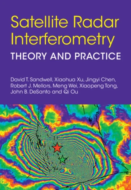
Theory and Practice
David T. Sandwell, Xiaohua Xu, Jingyi Chen, Robert J. Mellors, Meng Wei, Xiaopeng Tong, John B. DeSanto, Qi Ou · Cambridge University Press · 2025
Synthetic Aperture Radar Interferometry (InSAR) is an active remote sensing method that uses repeated radar scans of the Earth's solid surface to measure relative deformation at centimeter precision over a wide swath. It has revolutionized our understanding of the earthquake cycle, volcanic eruptions, landslides, glacier flow, ice grounding lines, ground fluid injection/withdrawal, underground nuclear tests, and other applications requiring high spatial resolution measurements of ground deformation. This book examines the theory behind and the applications of InSAR for measuring surface deformation. The most recent generation of InSAR satellites have transformed the method from investigating 10's to 100's of SAR images to processing 1000's and 10,000's of images using a wide range of computer facilities. This book is intended for students and researchers in the physical sciences, particularly for those working in geophysics, natural hazards, space geodesy, and remote sensing. This title is also available as Open Access on Cambridge Core.
Uus kasutamata raamat
Detailid
- Alapealkiri
- Theory and Practice
- Autorid
- David T. Sandwell, Xiaohua Xu, Jingyi Chen, Robert J. Mellors, Meng Wei, Xiaopeng Tong, John B. DeSanto, Qi Ou
- ISBN
- 9781009606233
- Aasta
- 2025
- Kirjastus
- Cambridge University Press
- Keel
- inglise
- Köide
- Kõva kaas
- Lehekülgi
- 212
- Teema
- Matemaatika ja loodusteadused › Füüsika — Physics
- Kaal
- 532 g