

The Thames Path Map Booklet
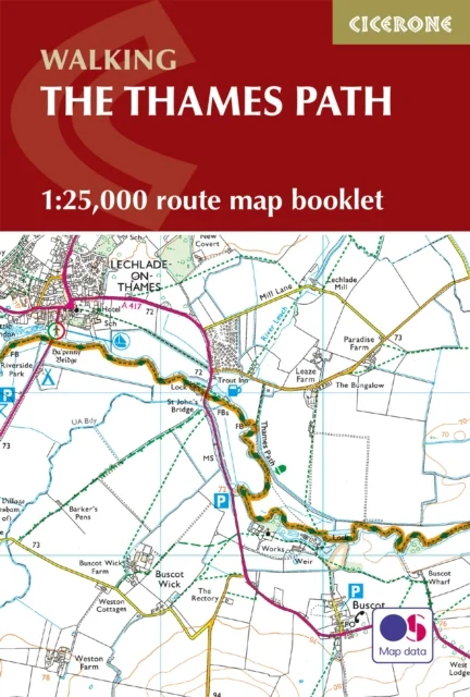
1:25,000 OS Route Map Booklet
Leigh Hatts · Cicerone Press · 2026
Experience the scenic charm and riverside adventure of the Thames Path National Trail, following the River Thames for 294 km (184 miles) through the heart of London to its source in the Cotswolds. Travel through picturesque villages, historic towns, and tranquil countryside, with highlights including Oxford, Windsor, Henley-on-Thames, and the vibrant cityscapes of London. This map book provides all the detailed mapping you need to walk the Thames Path National Trail: Features 1:25,000 Ordnance Survey (OS) mapsCovers the entire trail from the Thames Barrier to the CotswoldsSuitable for walking the trail in either directionCompact and easy to carry, perfect for your jacket pocket or backpackFor step-by-step route descriptions, an accompanying Cicerone guidebook, ‘Walking the Thames Path,’ is also availablePart of a comprehensive series for National Trail walkers Plan your Thames Path journey with confidence and enjoy every mile along England’s most iconic river.
Uus kasutamata raamat
Detailid
- Alapealkiri
- 1:25,000 OS Route Map Booklet
- Autor
- Leigh Hatts
- ISBN
- 9781786311498
- Aasta
- 2026
- Kirjastus
- Cicerone Press
- Keel
- inglise
- Köide
- Pehme kaas
- Lehekülgi
- 96
- Teema
- Elustiil, sport ja vaba aeg › Sport ja matkamine — Sports & outdoor recreation
- Kaal
- 126 g