

The West Highland Way (Footprint Map)
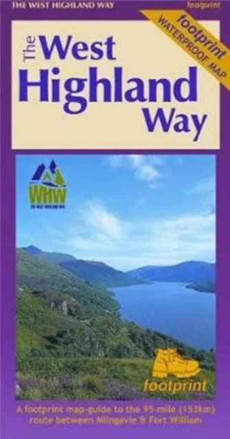
A Footprint Map-Guide to the 95 Mile Route Between Milngavie and Fort William
Footprint Maps · 2017
The West Highland Way waterproof map from Footprint is a map-guide to the 95 mile (153km) route between Milngavie and Fort William. The mapping is based on Ordnance Survey data at a scale of 1:40,000, with compact and concise information for walkers.
Saadavus
17,00 €
Uus kasutamata raamat
Täna tellides on tarneaeg umbes 9 päeva (27.11.2026)Tellimuse täitmise aeg on umbkaudne ja sõltub nädalapäevast, millal tellimus tehakse. Reeglina ei kulu üle kahe nädala.
Detailid
- Alapealkiri
- A Footprint Map-Guide to the 95 Mile Route Between Milngavie and Fort William
- ISBN
- 9781871149937
- Aasta
- 2017
- Kirjastus
- Footprint Maps
- Keel
- inglise
- Teema
- Elustiil, sport ja vaba aeg › Reisimine — Travel & holiday
- Kaal
- 36 g