

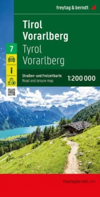
Tirol - Vorarlmountain, Road and Leisure Map
1:200,000
Freytag-Berndt · Freytag-Berndt · 2025
The road map of Tyrol and Vorarlberg at a scale of 1:200,000 is ideal for holidaymakers traveling by car, motorcycle, or caravan. The extensive road network is accurately depicted, and distances and numerous points of interest are marked on the map. Information on the road map of Tyrol - Vorarlberg Scale 1:200,000 Tourist information Campsites and pitches Local directory with postal codes City maps of Bregenz and Innsbruck approx. 135 x 96 cm Car and motorcycle drivers particularly appreciate freytag & berndt's precise cartography for planning and orientation on site. Caravan and campervan owners will, of course, find all campsites and pitches on the map. This map is sheet 7 of the map series Austria 1:200,000. The map series Austria 1:200,000 consists of a total of 7 sheets: Sheet 1: Lower Austria - Vienna; Sheet 2: Upper Austria - Salzkammergut; Sheet 3: Burgenland; Sheet 4: Styria; Sheet 5: Carinthia; Sheet 6: Salzburg - Salzkammergut; Sheet 7: Tyrol - Vorarlberg. Printed in Austria.
Uus kasutamata raamat
Detailid
- Alapealkiri
- 1:200,000
- Autor
- Freytag-Berndt
- ISBN
- 9783707923124
- Aasta
- 2025
- Kirjastus
- Freytag-Berndt
- Keel
- inglise
- Lehekülgi
- 2
- Teema
- Elustiil, sport ja vaba aeg › Reisimine — Travel & holiday
- Kaal
- 136 g