

Walking the Pennine Way Map Booklet
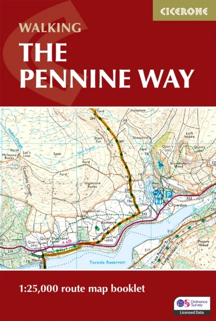
1:25,000 OS Route Mapping
Paddy Dillon · Cicerone Press · 2025
Discover the timeless beauty and challenge of the Pennine Way National Trail, which stretches 431 km (268 miles) from Edale in Derbyshire to Kirk Yetholm in the Scottish Borders. Journey through wild moorlands, rolling hills, and dramatic landscapes, passing highlights such as the Yorkshire Dales, Northumberland National Park, and the iconic Hadrian’s Wall. This map book provides all the detailed mapping you need to walk the Pennine Way National Trail: Features 1:25,000 Ordnance Survey (OS) maps Covers the entire trail from Edale to Kirk YetholmSuitable for walking the trail in either directionCompact and easy to carry, ideal for your jacket pocket or backpackFor step-by-step route descriptions, an accompanying Cicerone guidebook, ‘Walking the Pennine Way,’ is also availablePart of a comprehensive series for National Trail walkers Plan your Pennine adventure with confidence and enjoy each step of this legendary journey across Britain’s most celebrated landscapes.
Uus kasutamata raamat
Detailid
- Alapealkiri
- 1:25,000 OS Route Mapping
- Autor
- Paddy Dillon
- ISBN
- 9781786311412
- Aasta
- 2025
- Kirjastus
- Cicerone Press
- Keel
- inglise
- Köide
- Pehme kaas
- Lehekülgi
- 136
- Teema
- Elustiil, sport ja vaba aeg › Sport ja matkamine — Sports & outdoor recreation
- Kaal
- 156 g