

West Highland Way Map Booklet
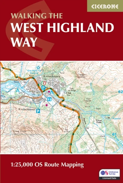
1:25,000 OS Route Mapping
Terry Marsh · Cicerone Press · 2026
Stretching 155km (97 miles) across Scotland from Milngavie to Fort William, the West Highland Way is one of Scotland's Great Trails and one of the most celebrated long-distance walks in the British Isles. Passing through the stunning landscapes of Loch Lomond, Rannoch Moor and Glencoe, it is suitable for walkers of most abilities and typically completed in around a week. The West Highland Way Map Booklet is a compact, lightweight walking map and navigation companion featuring the entire route on detailed OS mapping. Designed for use on the move, it provides clear, reliable mapping in a convenient pocket-sized format. Full West Highland Way route shown on Ordnance Survey 1:25,000 mapping for precise navigation whilst walking from Milngavie to Fort WilliamClearly marked trail line through Loch Lomond and The Trossachs National Park and across the open moorland of Rannoch Moor, past Buachaille Etive Mor and through Glencoe, with key highlights including the Devil's Staircase and Lairig MorContinuous mapping format in a compact, pocket-sized booklet, eliminating the need for multiple separate map sheetsThe booklet can be used in either direction, with the relevant OS Explorer map legend included for easy referenceFor step-by-step route descriptions and planning advice, the accompanying Cicerone guidebook, Walking the West Highland Way, is also available and includes a copy of this map booklet Compact enough to slip into a jacket pocket and clear enough to use on the move, the West Highland Way Map Booklet is the essential navigation companion for one of Scotland's greatest walks.
Uus kasutamata raamat
Detailid
- Alapealkiri
- 1:25,000 OS Route Mapping
- Autor
- Terry Marsh
- ISBN
- 9781786311788
- Aasta
- 2026
- Kirjastus
- Cicerone Press
- Keel
- inglise
- Köide
- Pehme kaas
- Lehekülgi
- 56
- Teema
- Elustiil, sport ja vaba aeg › Sport ja matkamine — Sports & outdoor recreation
- Kaal
- 62 g